
City of Vancouver, Vancouver Land Bridge
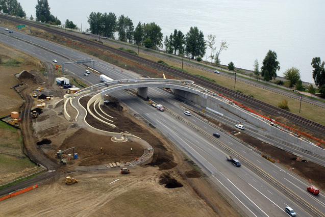
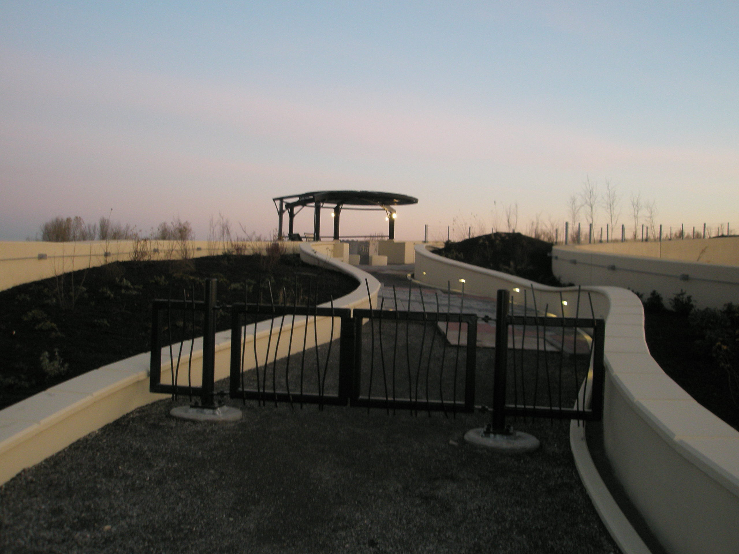
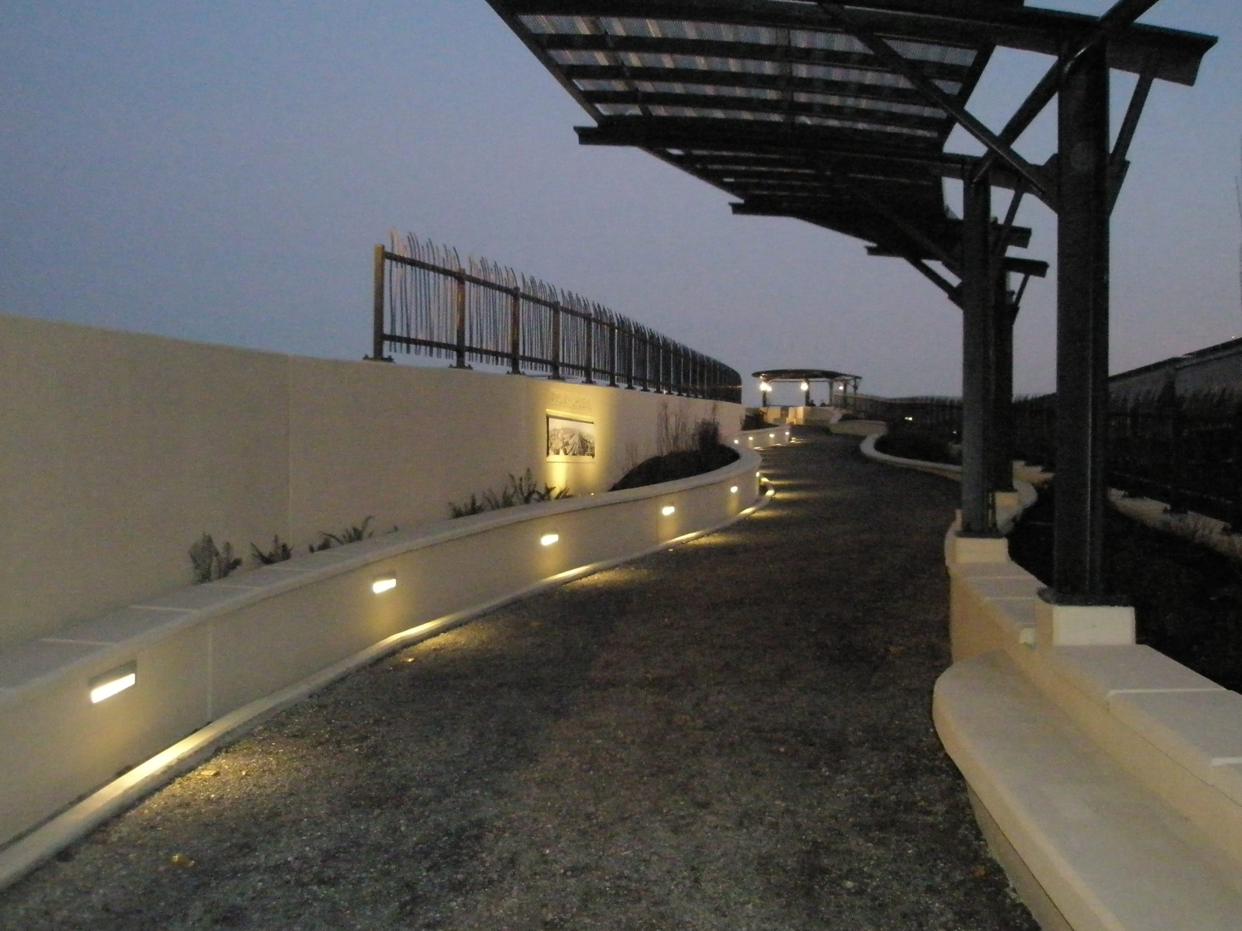
The bridge allows access from the north side of SR 14 and Fort Vancouver area to the south side of SR 14. The bridge is approximately 40 feet-wide and includes two spans approximately 100 and 90 feet-long. The north and south abutments are approximately 25 feet-high and supported on spread footings. The two bridge decks are structurally connected at the abutments and center support. The center support consists of an approximately 25-feet-high, 33-feet-long, 2-feet-thick pier supported on a 12.5-feet-wide, 48-feet-long spread footing. The maximum abutment load is approximately 1,500 kips, and the maximum center pier load is approximately 3,000 kips. Access to the bridge is provided by a path supported by a series of retaining walls from several feet up to about 25 feet-tall; a portion of the south access ramp consists of a soil-nail wall of varying height. Stormwater collected from the bridge and access ramps is directed to new drywells located near the project. GRI evaluated subsurface conditions for the project and developed recommendations for earthwork; foundation design, including spread footings and drilled shafts; abutments and retaining walls, including soil-nail and MSE wall design; seismic design considerations; and infiltration rates for stormwater disposal. A Phase I Environmental Site Assessment (ESA) was also completed for the project.
Location: Vancouver, Washington
Owner: City of Vancouver
Market Sector: Federal, Transportation