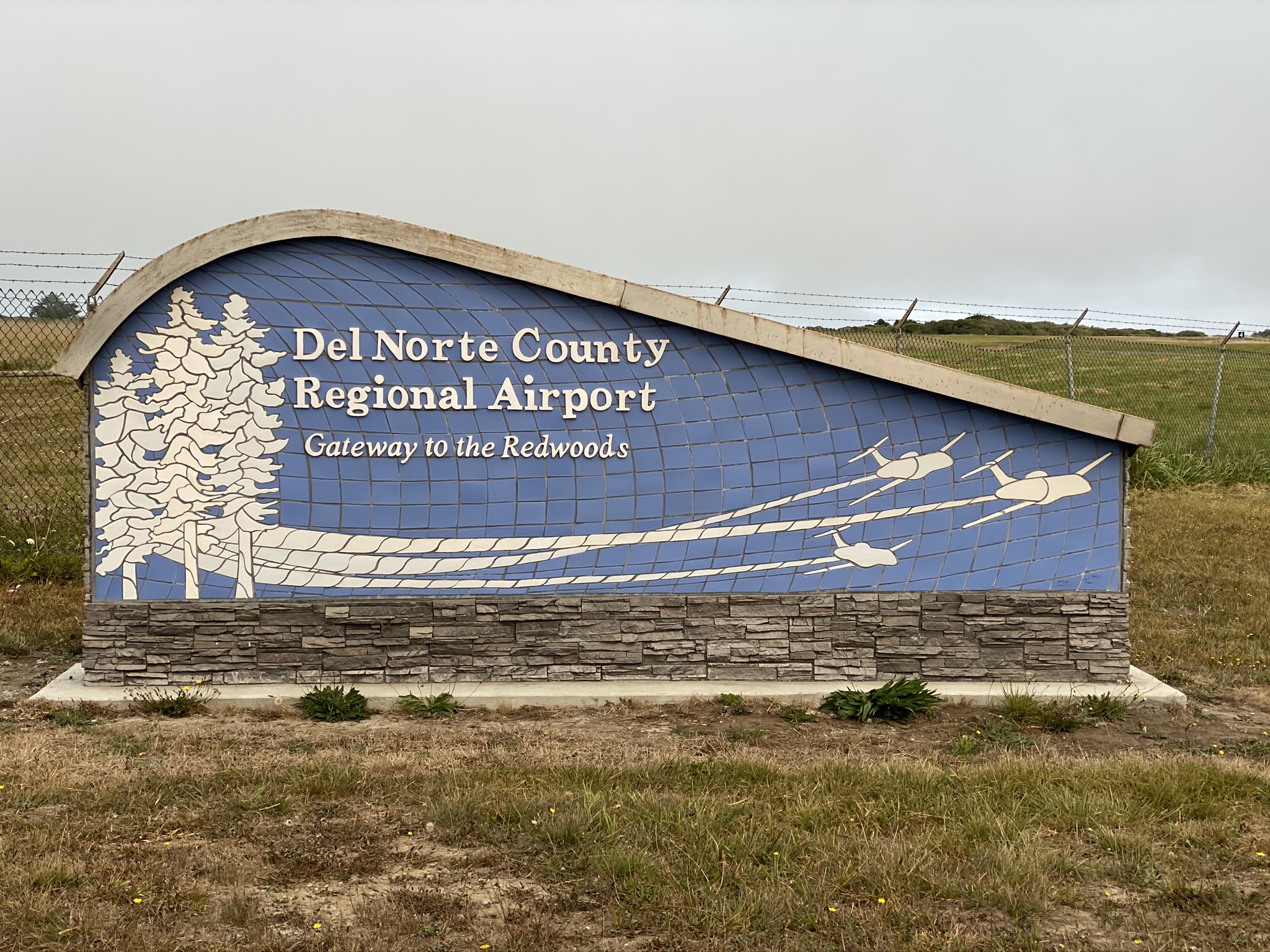
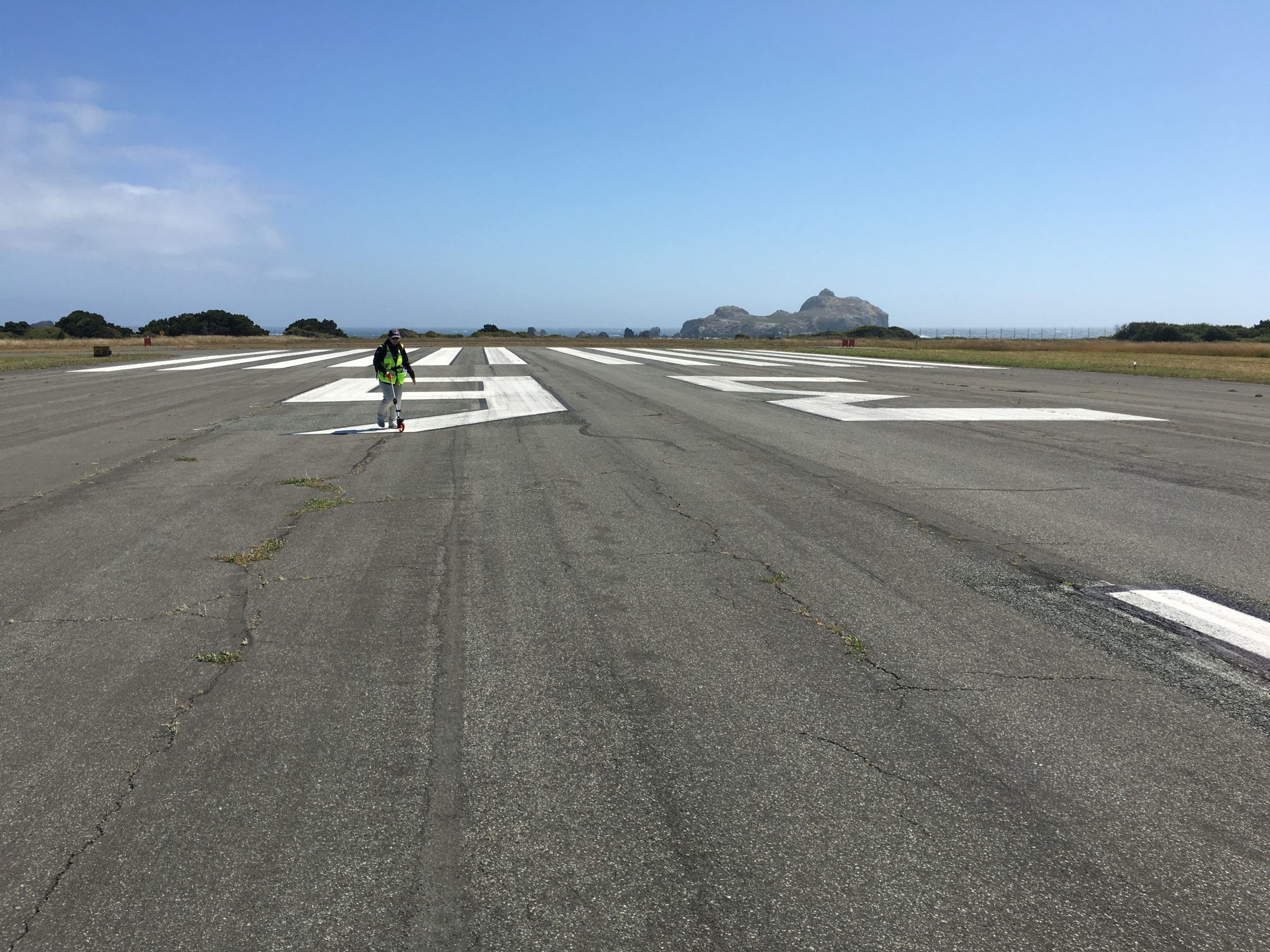
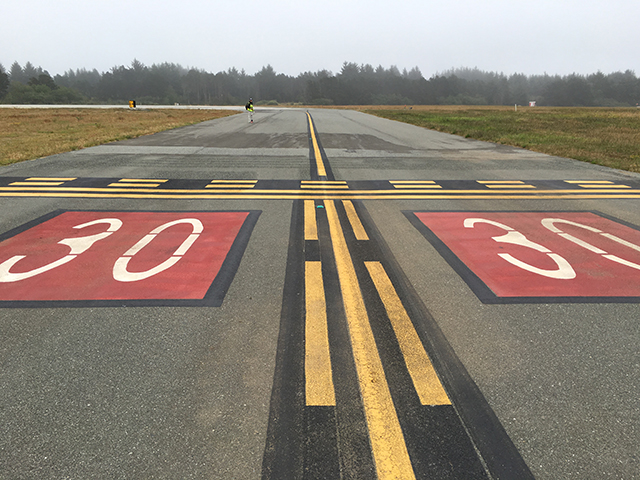
GRI assisted the Border Coast Regional Airport Authority (BCRAA) in implementing a pavement management system for the Del Norte County Regional Airport (Jack McNamara Field). We utilized existing AutoCAD maps and high-resolution imagery to section the airfield into PAVER compatible ESRI GIS shapefiles. We utilized GPS enabled handheld tablet computers during the Pavement Condition Index (PCI) survey which allowed us to complete the survey efficiently. We conducted the survey in accordance with FAA Advisory Circular 150/5380-7B using ASTM D5340 methodology to meet a 95% confidence interval. We developed deterioration models, customized system tables, and analyzed several budget needs and consequence scenarios, which ultimately led to a five-year maintenance and preservation plan for the airport. The multi-year project recommendations were used to the update the Airport Capital Improvement Plan (ACIP). GRI also assisted the Airport with updating their Form 5010 by evaluating the Pavement Classification Number (PCN) for all airfield pavements in accordance with FAA Advisory Circular 150/5335-5C.
Location: Crescent City, California
Owner: Border Coast Regional Airport Authority (BCRAA)


